|
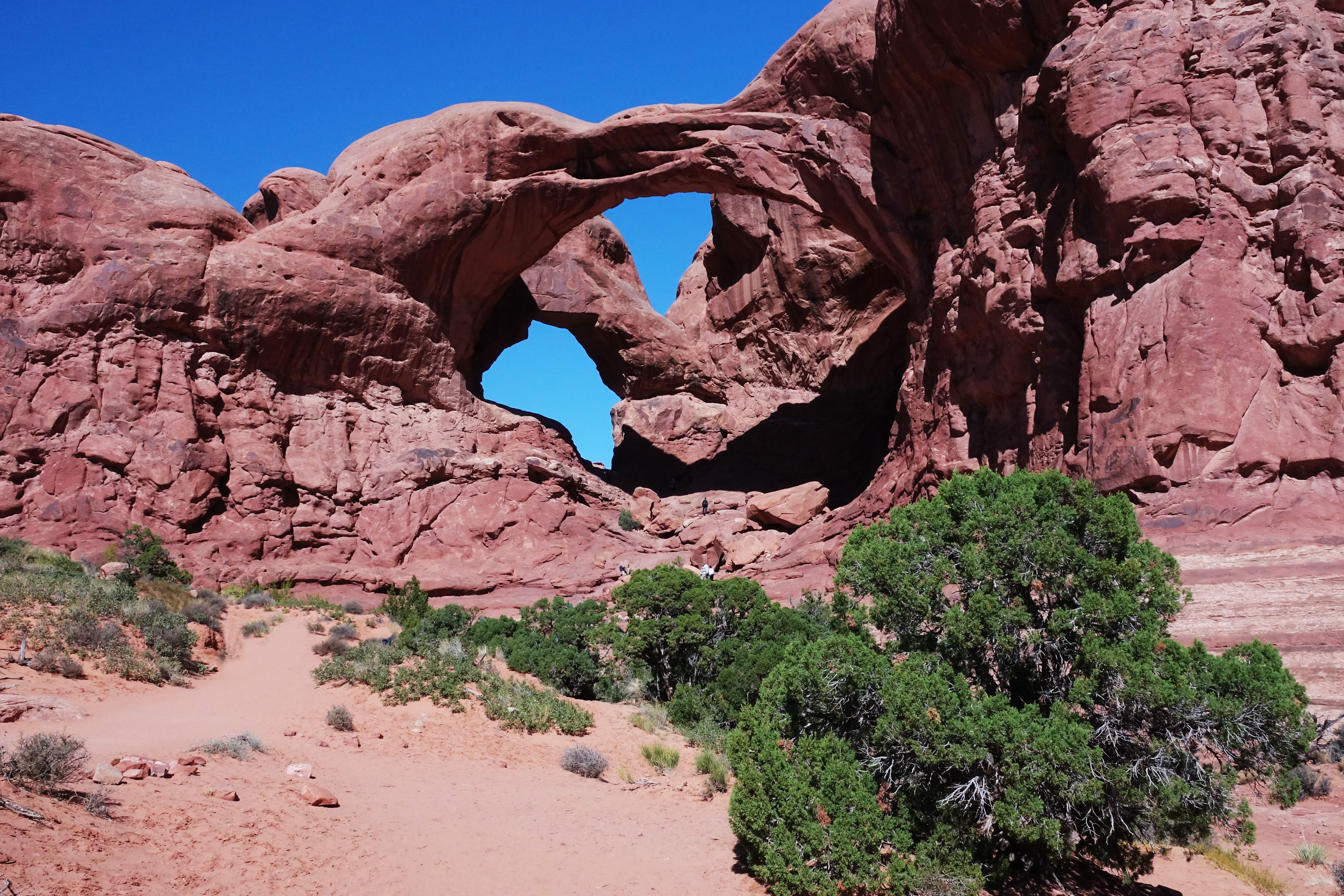
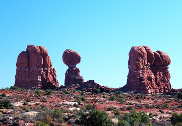
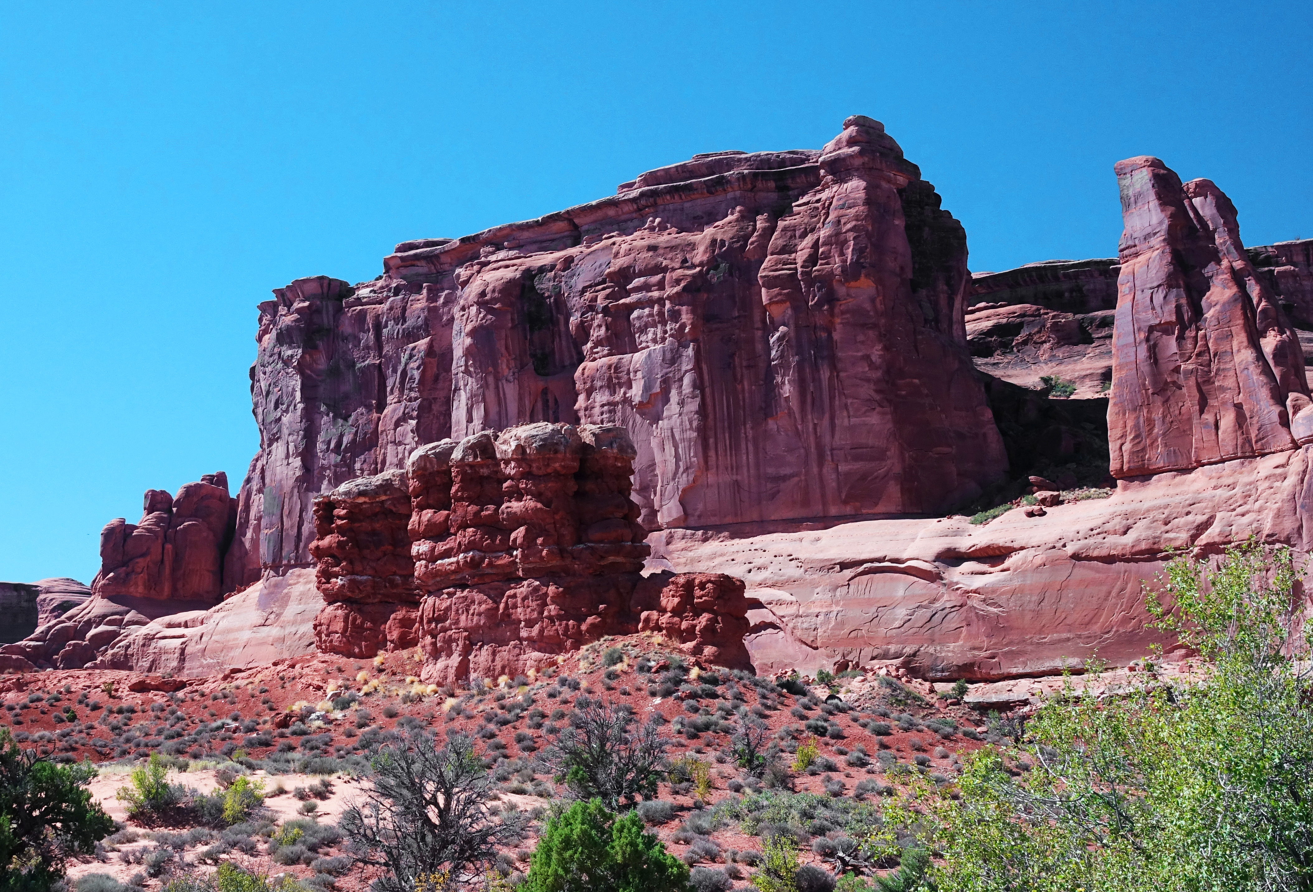
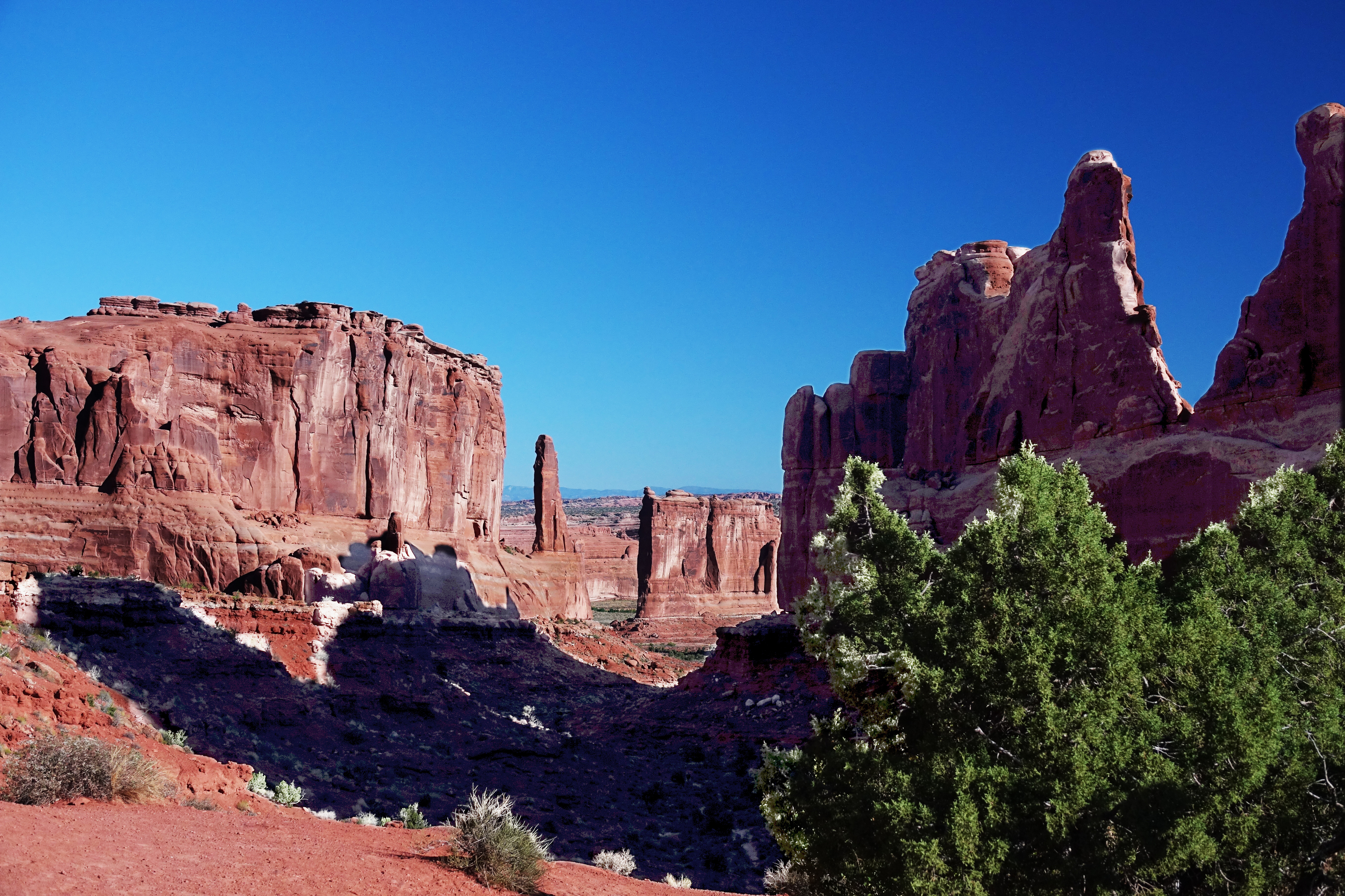
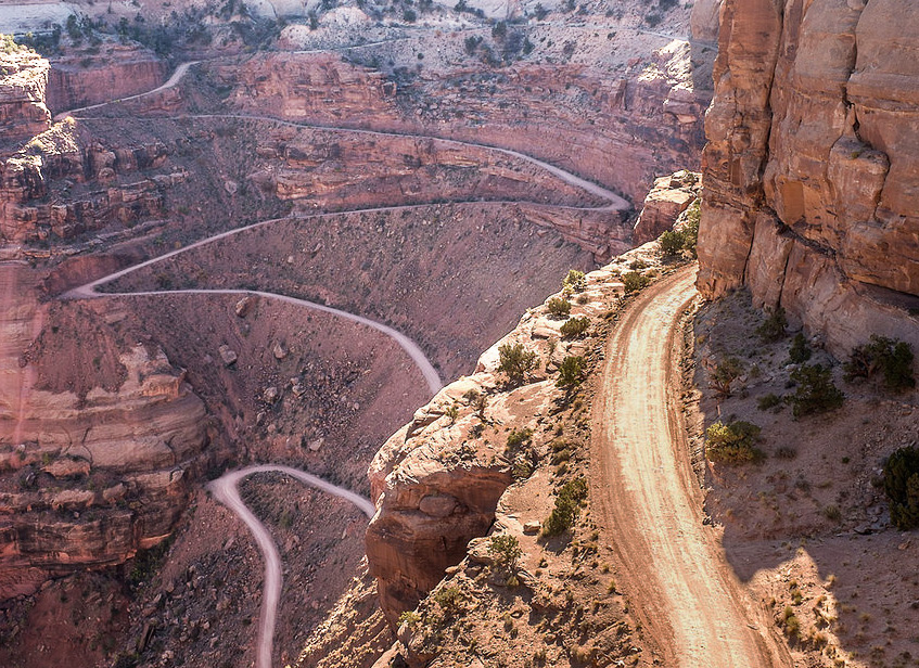
It's a short drive to Moab from Durango. Shorter still if you stop to spend the day at Mesa Verde. Anytime is a good time to crawl or drive around Moab; anytime but Summer! Summer is crowded and hot! Be sure to carry lots of water with you and on you if you are going to hike around during the summer. If lucky, in winter you may find snow. With snow on the ground it gives your photography a great blanket of white to contrast agaist the rock. 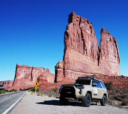 As you come into Moab from the north, the Arches NP is on your left about a mile from town. Best time for photography is early morning or late afternoon. Many motels and campgrounds in Moab. Peak seasons the motels are expensive. One of the best RV campgrounds is on your right as you approach the town. Slickrock offers some outstanding camp sites; but get there early to stake one out for they fill up fast. Arches National Park is over 76,000 acres. Arches NP contains the world's largest collection of natural stone arches. Along with the arches are the fins, bridges, pinnacles, and balanced rocks. Some of the most popular stops are Park Avenue, The Courthouse, and ablout half way into the park is the Balanced Rock. Don't be to hasty to hurry through; some of the best viewing can be at dusk or the dead of night. i SHAFER TRAIL Photo: Courtesy www.dangerousroads.org 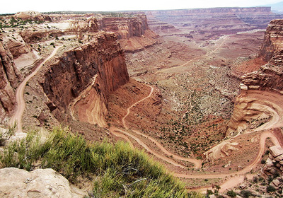 After a mid-morning shoot and stopping for lunch in Moab, I engaged a local police sargent for information of trails and camping that may not be so well known. Being an avid off-roader, one of the places he likes he told me about: Yep, he said go on up north out of town and turn on this road along the river, pass the potash plant and enjoy. Now I don't recall if he said: be sure to stay away from Safter Trail or not. He may have mentioned at the "trail intersecton" go to the left - White Rim. I dont know. At any rate I went right. The photos above shows you what the Shafter Trail looks like. The video below will give you a feel for the entire journey. After the fact and looking for precise information for this blog I ran across www.dangerousroads.org. Kinda wish I had seen this before I turned "right"! Here is what the website has to say: "Safter Trail Road -Shafer Canyon Road is 18 miles of dirt track that requirs extreme caution at the best of times. This road has humbled many egos. It's not for the sissies and shouldn't be attempted by novice drivers. Be prepared to self-rescue (I have to add here - what rescue if you just fell 1,000 feet off the cliff!) A 4WD vehicle and experienced driver are recommended. Avoid driving if unpaved mountain roads aren't your strong point. Stay away if you're scared of heights. There are sheer drops virtually along the entire route and enough hairpins to make a whirling dervish dizzy. A quick glance at the map at its sheer drops and serpentine twists and turns confirms that this is no hype." If you can take your eyes off the road, you will be rewarded with beautiful vistas. OK, maybe it is not the "pucker factor" that I have presented. In most days you can drive Shafer Trail in just about any car. It is true if you are skittish about heights - don't do it. I know people that will not drive Highway One on the California Coast, or "The Million Dollar Highway" (Hwy 550) between Ouray, Colorado and Silverton. Shafer Trail is not for the faint of heart.
|
AuthorKarl Johnson CategoriesPlease Help Support
this Blog by making any size donation. Thank you for your support! |
